Bionote

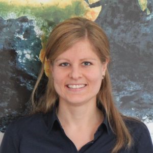
Franziska Brohmeyer studied Geography at University of Heidelberg. Since 2015 she has been working
at Vista GmbH in Munich. Vista is an innovative value adding company in the field of remote sensing
based on solutions with almost 30 years of experience in translating state-of-the-art scientific methods
into operational, digital services for sustainable farming and food security. Franziska Brohmeyer is
member of the team “Products and Services”, being responsible for smart farming services that allow
a more sustainable use of natural resources and a more efficient management of agricultural land. The
focus of her daily work is on the smart irrigation service VariableRain provided on the Vista-GEO
platform.
Presentation Abstract
The presentation shows Vista’s satellite and model based irrigation service VariableRain. The service offers high-resolution information on the crop water demand and is provided on the Vista-GEO platform. With VariableRain, irrigation can be managed comprehensively and efficiently resulting in savings of water, energy and management time. For the service, plant parameters are derived from satellite data using the radiative transfer model SLC1 (1). This information is supplemented into Vista’s physically based crop growth and water balance model PROMET (2). Based on soil and elevation data as well as hourly meteorological data, the model simulates the current status of plant growth, soil moisture, field capacity and crop water demand. By using also weather forecast and as-applied data within the model, VariableRain offers the crop water demand for the upcoming week. From these findings, ready to use site-specific irrigation recommendation maps in mm/day are generated for the user’s VRI (Variable Rate Irrigation) control software to optimize irrigation at each individual point in the field. Through API interfaces it is possible to exchange data between the Vista-GEO platform and the VRI control software seamlessly.
Co-Authors: Heike Bach, Hanna Deuscher
1 Verhoef & Bach (2007): Coupled soil–leaf-canopy and atmosphere radiative transfer modeling to simulate hyperspectral multi-angular
surface reflectance and TOA radiance data. Remote Sensing of Environment 109 (2), 166-182. doi: https://doi.org/10.1016/j.rse.2006.12.013
2 Mauser, W., Bach, H. (2009): PROMET – Large scale distributed hydrological modelling to study the impact of climate change on the
water flows of mountain watersheds. Journal of Hydrology 376, 362-377, doi: https://doi.org/10.1016/j.jhydrol.2009.07.046